

Yamanlar Mountain Survey
The Yamanlar Mountain Survey, which was carried out within the borders of Bayraklı district of İzmir province, has been continuing since 2022 with the permission granted by the General Directorate of Cultural Heritage and Museums with a team of experts, all graduates of Dokuz Eylül University, under the research chairmanship of Dokuz Eylül University Archaeology Department Faculty Member Prof. Dr. Duygu Sevil Akar Tanrıver. İzmir and its surroundings have been home to many civilizations since the Prehistoric Period due to its natural resources, fertile lands and strategic location. Smyrna, as it was called in Antiquity, is an important settlement that forms the eastern coast of the Aegean Sea in an area approximately 300 km long and 100 km wide in the north-south direction.
Since the 17th century, notes of travelers and researchers, and since the 20th century, scientific excavations and archaeological studies have been continuing in Izmir. In the geography of Izmir, where traces of settlement are seen at more than one point due to its strategic location, it is aimed to make new contributions to the history of the city in the light of new findings by investigating the archaeological data around it.
For this purpose, research on Smyrna’s defensive fortifications on Yamanlar Mountain, located in the Izmir hinterland, continues. The fertile Bornova Plain and the strategically important Belkahve pass, which opens to the Nif and Manisa plains, are considered as the border. The south is bordered by two valleys, which are divided by the Arap and Meles streams for access to the Küçük Menderes Basin. The southeastern part was kept under control by the castles located on Sivrikaya, Kaynaklar Castle, Kaletepe, which were strongly fortified for defense purposes, especially under Persian rule. The northern border was controlled by Palaudis (Asartepe), Herakleia (Balıkkayası) and Melanpagos (Gökkaya) fortresses as a result of its weak structure to resist attacks from Yamanlar Mountain, Menemen Plain and its vicinity. Kaletepe, Çobanpınarı, Örnekköy Mezarlık Kale, Sancaklık Kale (Adakale), Eski Smyrna (Büyükkale) are the defense points to prevent access to the gulf. Küçükkale, located on the slopes of Bayraklı Mound, and Aksertepe Castle in Laka Village are considered as the last defense points.
One of the research objectives of the Yamanlar Mountain Survey is to examine the tumulus tombs on the northern slopes of Old Smyrna in line with the burial traditions of the dead. Among these tombs are the foundations of the Tantalos Tomb, one of the most magnificent structures in the history of Smyrna, but this monumental structure has not survived to the present day. In this region, where there were many tumuli in antiquity, research continues on the remains that can be preserved at some points. The Yamanlar Mountain Survey contributes to the archaeological studies in and around Izmir with up-to-date evaluations and new insights.
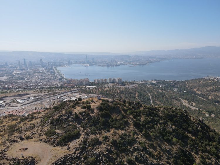
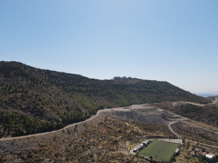
1-A combined view of Buyukkale and Izmir Bay
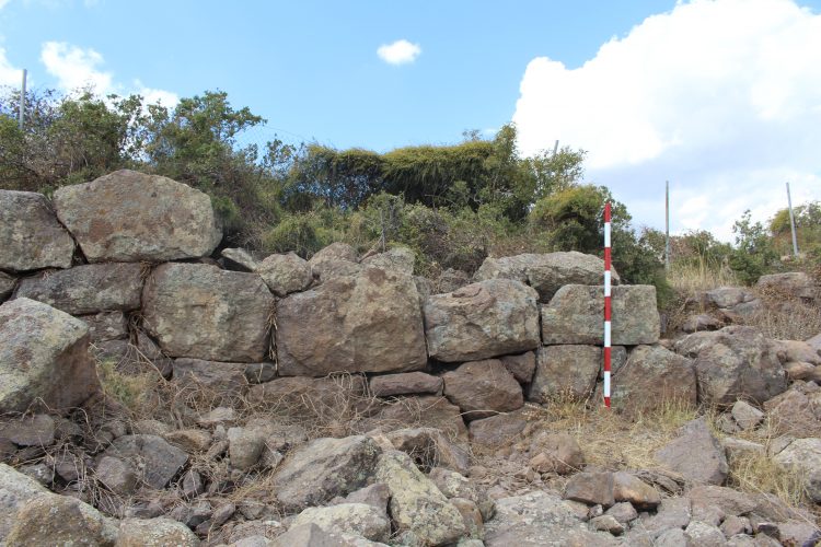
2-Detail from the fortification wall of Buyukkale
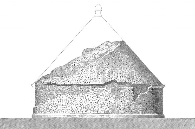
3-Tomb of Tantalus
4-Besiktas Tepe
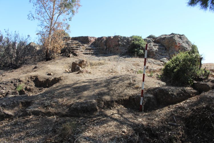
5-Cobanpinari Tepe